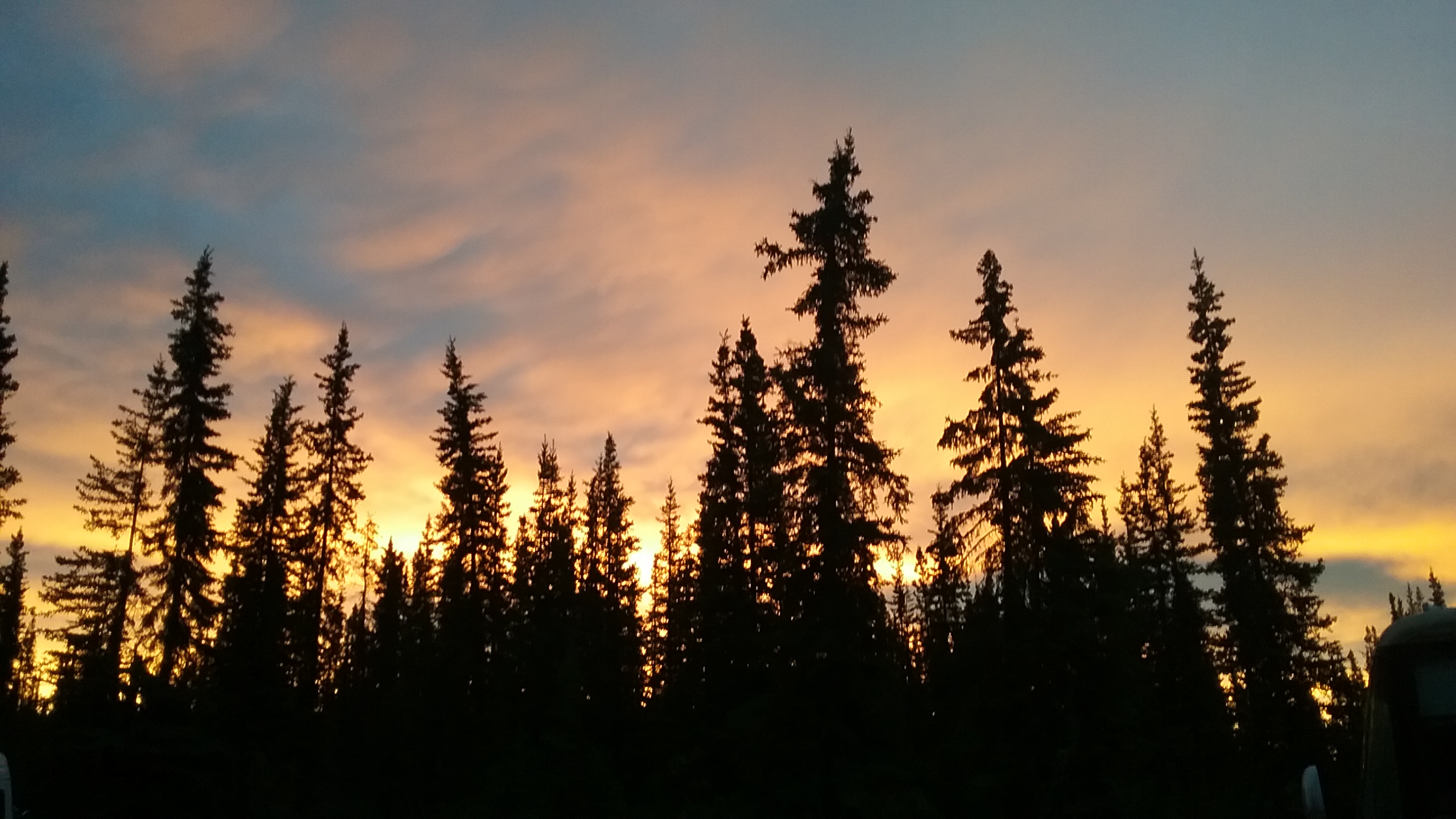
I woke up at 3 AM in Chicken! The sky was a brilliant orange thanks to the low, midnight sun. It was neither setting nor rising since I was so far north, but the sun was low enough to set the sky ablaze. I could not get back to sleep after taking photos, so I made coffee and a peanut butter sandwich while Tango has breakfast. We walked around the quiet little town and then I was tired again. Back in the car, I fell asleep for several more hours. Werid how I can do that after coffee. By the time I awoke, the other campers had left.’
Chicken at 3 AM!!!!
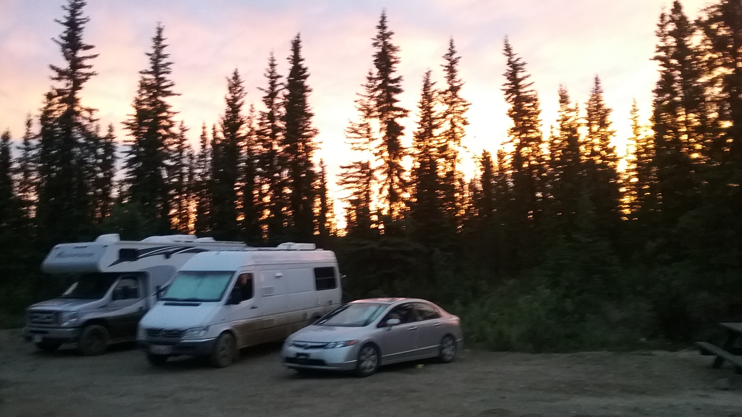
Alice is parked for the night with the big guys!
 By the way, gold miners named the town Chicken because because no one could spell Ptarmigan, which are numerous in the area. They may not have made much money from the gold but the tourism dollars must be plentiful.
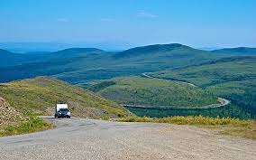
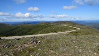
But, now it is time to leave Chicken. From Chicken towards Dawson City, YT the road is gravel for about 60 miles, then paved on both sides of the border crossing for several miles, then gravel again. The AK side of the gravel road was absolutely atrocious, full of potholes and ridges. The Yukon side was much better. The Top of the World Highway begins after passing the border station, and it is a road well-named. It climbed above the treeline and offered views in all directions. Especially interesting to me were the endless mountains far to the north. This dramatic land stretches on forever. Vast. That is the only term to describe the scale.
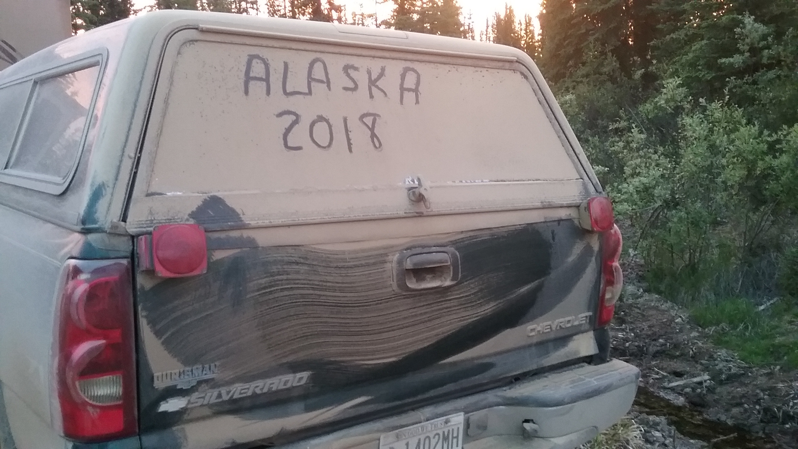
A dusty fellow traveler who just finished the dirt section of the Top of the World Highway!
Finally, we reached pavement again and the ferry that takes motorists across the famous Yukon River (takes less than 5 mins). I spent a few hours in town, mostly at the library. I could not get their Internet to work with my computer and Google Chrome, but I was able to use my phone with their connection. I browsed their books and was impressed.
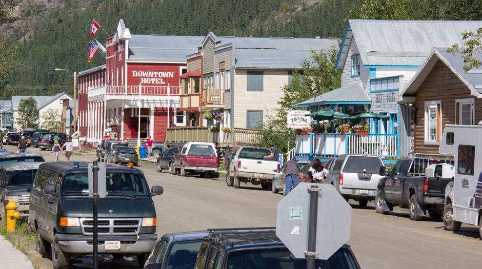
Dawson City looks the part of a gold mining town, with old buildings connected by boardwalks. The original buildings were probably mixed in there somewhere, but I mostly saw new-but-built-to-look-old buildings for many blocks. Before leaving I was down about ⅓ tank of gas so I topped it off, at $1.67/liter (Canadian), which translates to about $6/gallon. Except for that, I enjoyed the stop and on the way south, I passed gold dredging operations.

Small ferry that takes cars, RVs and trucks across the Yukon
 I had about 340 miles ahead of me until I would intersect with the Alaska Highway in Whitehorse. The Yukon River, which I passed and crossed a few times, is a typical river – filled with water from bank to bank, like the Mississippi. I can see why prospectors made their way across the mountains from Skagway to reach the navigable Yukon. It was mellow, wide and hospitable, unlike the dramatic channels carved by the meandering, gravelly, braided rivers farther south. The river valley was softer and rounded, forested with the scrappy black spruce, unlike the treeless, rugged peaks of the Kluane country. I also passed small lakes and a few larger ones, reminding me of yet another setting often seen in the Alaska reality shows. Because of the cultural features of Chicken and Dawson City, I am happy I took the loop. I can now accurately visualize the scenery when I reread some of the classic Alaska stories. However, I will forever miss getting another look at the Kluane area, which I bypassed by taking this loop.
The road from Dawson City turned ugly again, but I ticked off 300 miles in about 6 hours. I had driven several hours in the morning before reaching Dawson plus that mind-numbing bad road after that, so I was pooped again. Tango had been woozy from all the swerving and slowing and resuming speed, and he barely slept all day. Then, before Whitehorse, the road started to follow Fox Lake which looked quite inviting in the late evening sun. Just as I started to think about a nice walk along the lake, I saw a sign for a Yukon Govt Campground! I have found these to be the best deal anywhere, usually $12/night Canadian (approx $10 US). Tango and I found a nice spot and jumped out of the car. We nearly ran to the lake, where Tango drank the cold water and I couldn’t stop splashing my face and neck. Goodbye to the dusty road grit.
As we walked back to our site, I realized that I was a mess from head to toe. Not only road dirt, but dishelved travel clothes with bits of food and layers of bug spray. Peeling layers of calamine and/or other anti-itch compounds covered my exposed skin. I didn’t have any privacy at the free Chicken campground so I took only a partial sponge bath the night before. At the Fox Lake Campground, I was able to clean up completely and change clothes. Ahhhhh!
Now, a breeze blows off Fox Lake and I am ready for a good night’s sleep. Hopefully, I can sleep through the lure of the 3 AM sunlight, but if not, so be it. It won’t be long before I am back to regular nights with many hours of darkness, and I will miss the early morning magic.
Next: days and days and days of driving through British Columbia and eventually emerging near Seattle. Five days total? I don’t have Internet so I can’t check Google Maps at the moment. I am going to push a bit but the roads are mostly two-lane, so who knows. I hope to find more lakes like this one in the evenings where we can get refreshed for the next day.
For those who worry about me, I don’t have much Internet in Canada so you may not hear from me for a few days. If I find a cafe with Wi-Fi I can post something. It is more likely that I can post on Facebook via my phone. In any event, I will get back to you from the great State of Washington and share about my adventures zooming through BC.


